File:Gulag Location Map.svg.png
Jump to navigation
Jump to search

No higher resolution available.
Gulag_Location_Map.svg.png (600 × 424 pixels, file size: 144 KB, MIME type: image/png)
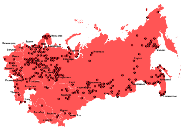
Map of GULAG facilities in the Union of Soviet Socialist Republics.
File history
Click on a date/time to view the file as it appeared at that time.
| Date/Time | Thumbnail | Dimensions | User | Comment | |
|---|---|---|---|---|---|
| current | 17:56, 30 March 2024 | | 600 × 424 (144 KB) | RedParabola (talk | contribs) |
You cannot overwrite this file.
File usage
The following page uses this file: