File:CHAZ-map.png
Jump to navigation
Jump to search

Size of this preview: 800 × 500 pixels. Other resolution: 1,370 × 856 pixels.
Original file (1,370 × 856 pixels, file size: 1.04 MB, MIME type: image/png)
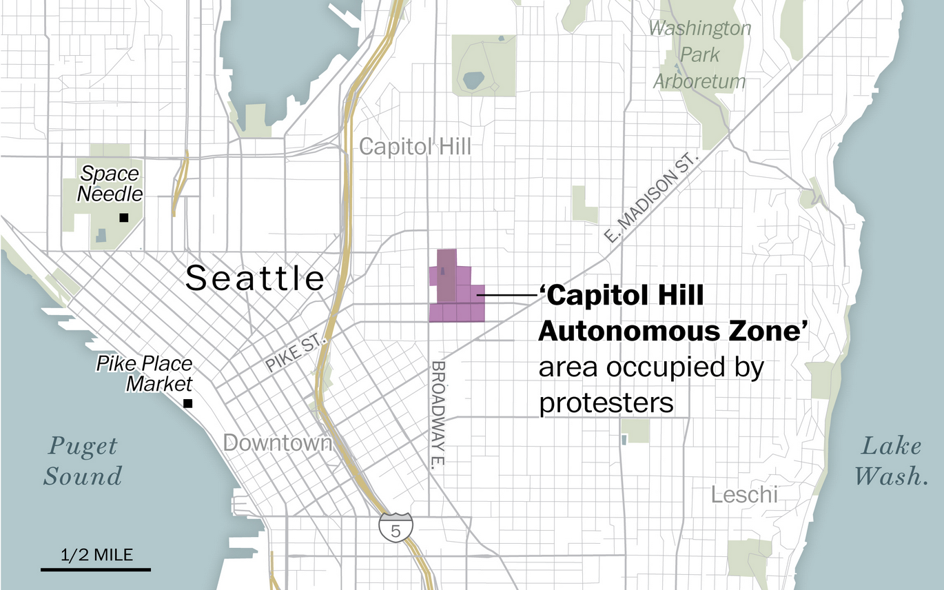
Map of the Capitol Hill Autonomous Zone.
File history
Click on a date/time to view the file as it appeared at that time.
| Date/Time | Thumbnail | Dimensions | User | Comment | |
|---|---|---|---|---|---|
| current | 20:29, 25 April 2024 | | 1,370 × 856 (1.04 MB) | RedParabola (talk | contribs) |
You cannot overwrite this file.
File usage
The following page uses this file: